| Name | Last modified | Size | Description | |
|---|---|---|---|---|
| Parent Directory | - | |||
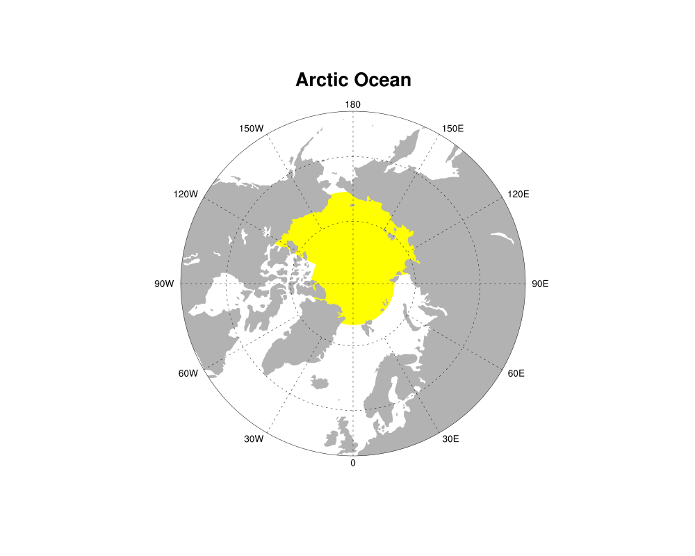
| Arctic.png | 2025-10-17 12:22 | 91K | ||
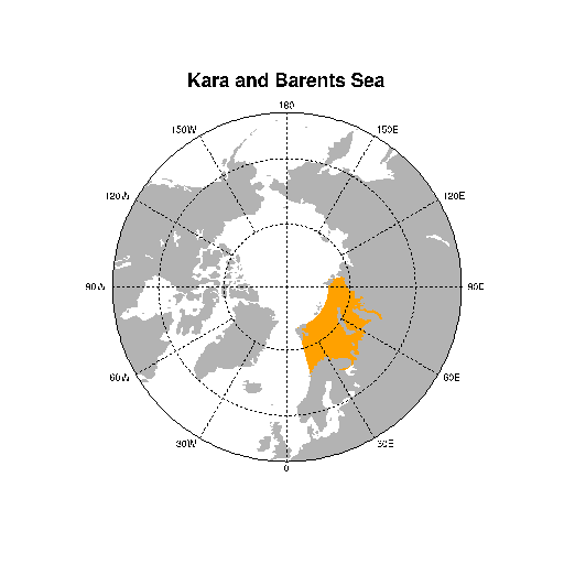
| Barents.png | 2025-10-17 12:22 | 12K | ||
| Beaufort.png | 2025-10-17 12:22 | 12K | ||
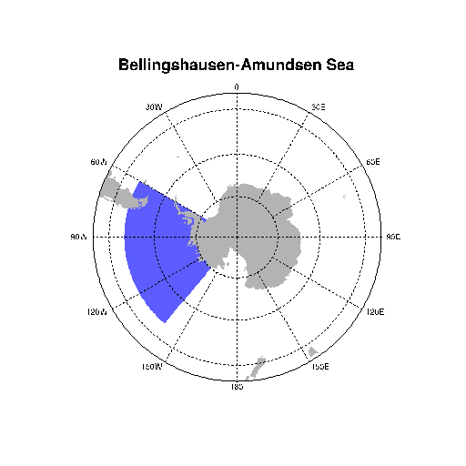
| Bellingshausen.png | 2025-10-17 12:22 | 10K | ||
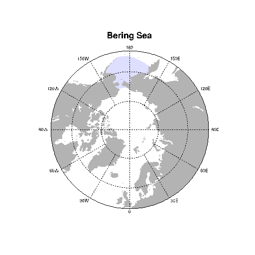
| Bering.png | 2025-10-17 12:22 | 12K | ||
| CAArch.png | 2025-10-17 12:22 | 12K | ||
| CentralArctic.png | 2025-10-17 12:22 | 12K | ||
| Greenland.png | 2025-10-17 12:22 | 12K | ||
| Hudson.png | 2025-10-17 12:22 | 12K | ||
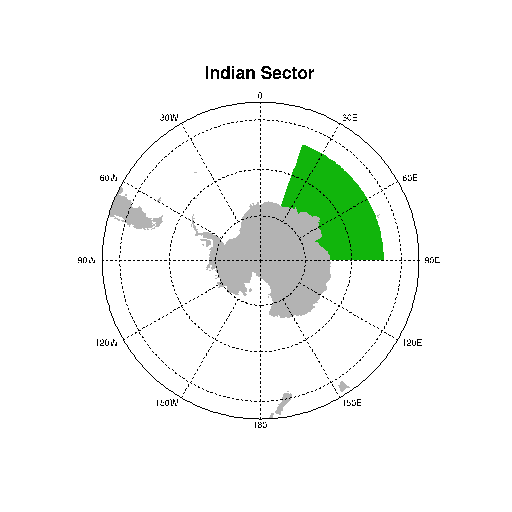
| Indian.png | 2025-10-17 12:22 | 9.9K | ||
| Labrador.png | 2025-10-17 12:22 | 12K | ||
| NH_regions.png | 2025-10-17 12:22 | 120K | ||
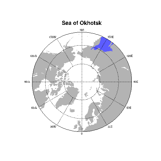
| Okhotsk.png | 2025-10-17 12:22 | 12K | ||
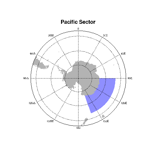
| Pacific.png | 2025-10-17 12:22 | 9.9K | ||
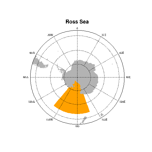
| Ross.png | 2025-10-17 12:22 | 9.9K | ||
| SH_regions.png | 2025-10-17 12:22 | 12K | ||
| Siberian.png | 2025-10-17 12:22 | 12K | ||
| Weddell.png | 2025-10-17 12:22 | 9.9K | ||